04: Point 8
One of the biggest and best local hikes that we have access to is literally straight out the back door, through the backyard, up and over the glacier, and down the other side to a place called Point 8. I think at some point there were seven other generically numbered "points," but over time they were all given more proper names. For some reason the eighth point has so far stood the test of time.
During the NBP Port Call we had a perfectly sunny and relatively warm day, so right after work a few of us jumped at the chance!
ATTENTION!!
These photos are best viewed on a large monitor, laptop, or tablet; but, in the very least, turn your device sidewards!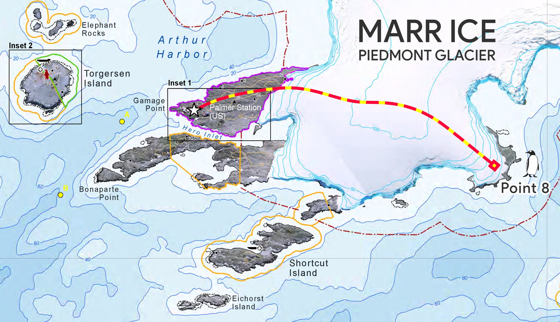
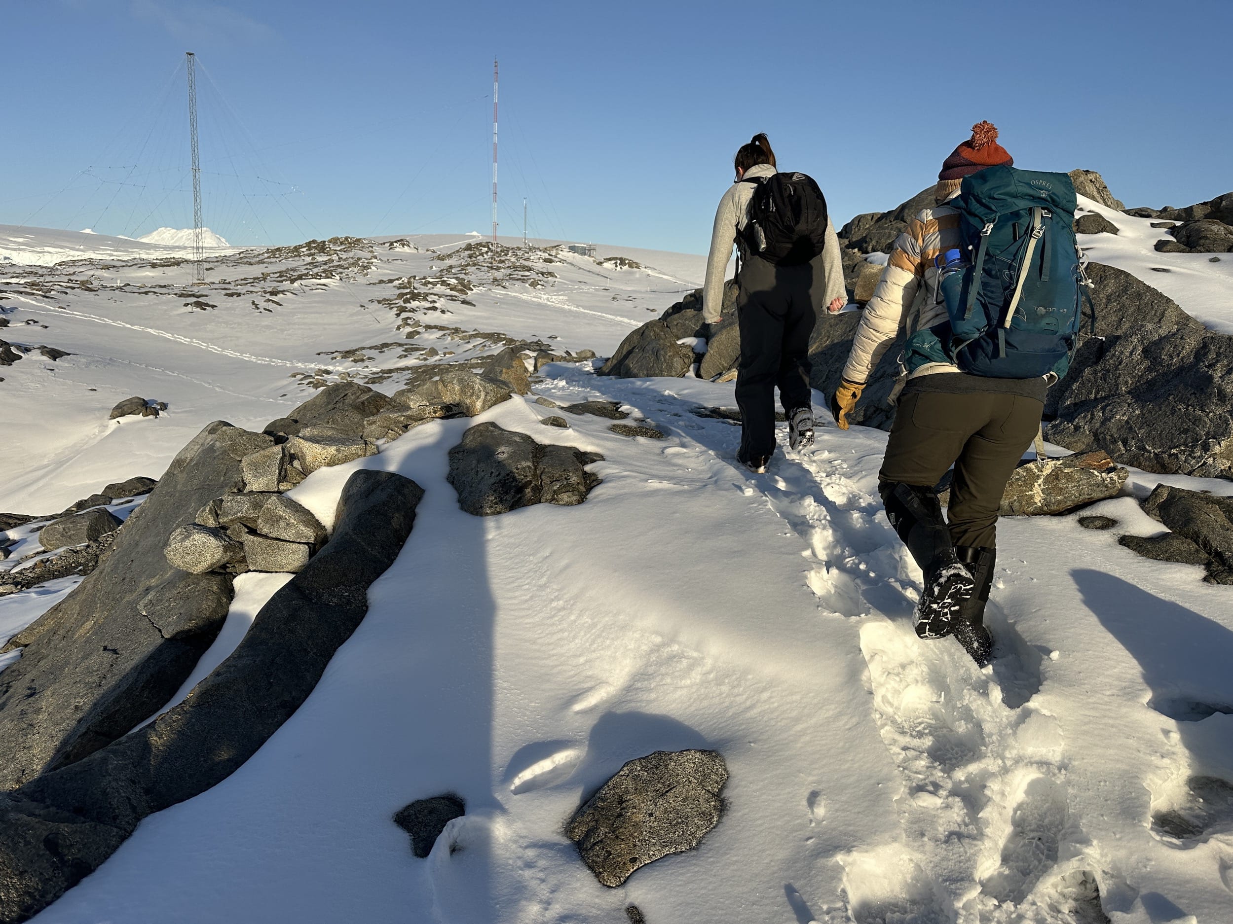
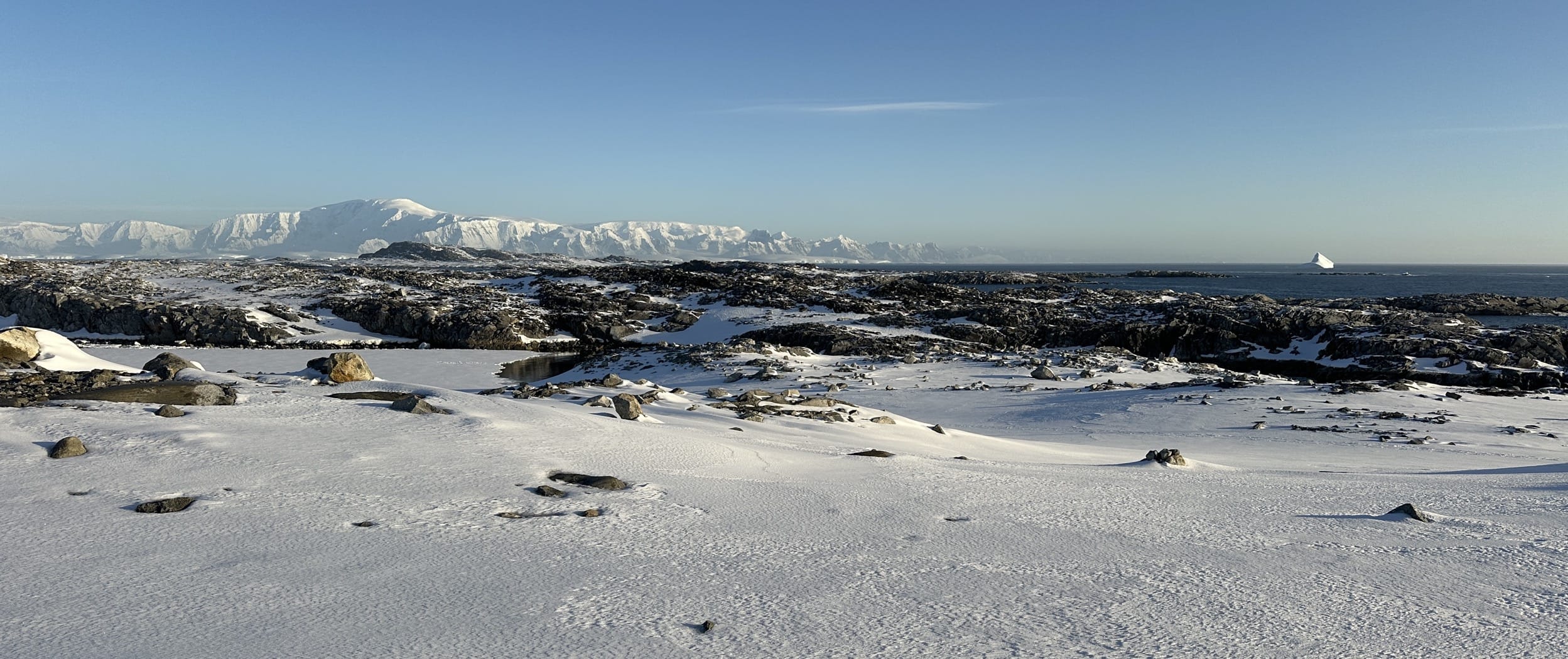
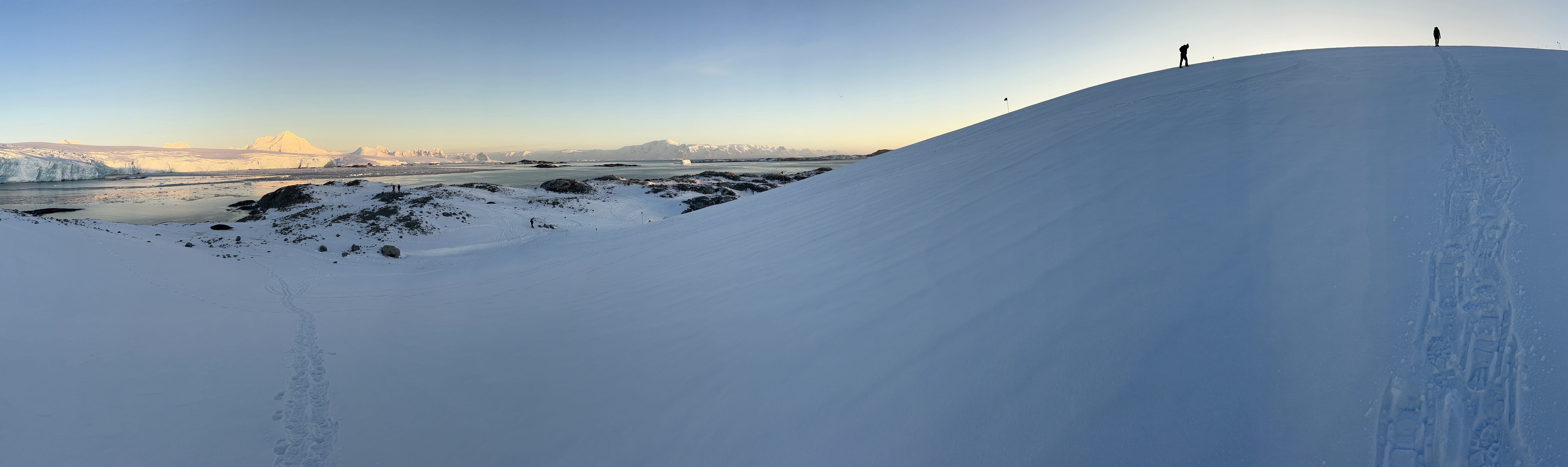
The hike begins with a route through the "backyard," which is the expanse of small hills (full of boulders and rocks and stuff) between the backside of station and the leading edge of the glacier. You can see the area in the map above – the large rocky area to the right of the big white star. It's a fun area to explore all on it's own, but we pushed on through to the glacier's edge.
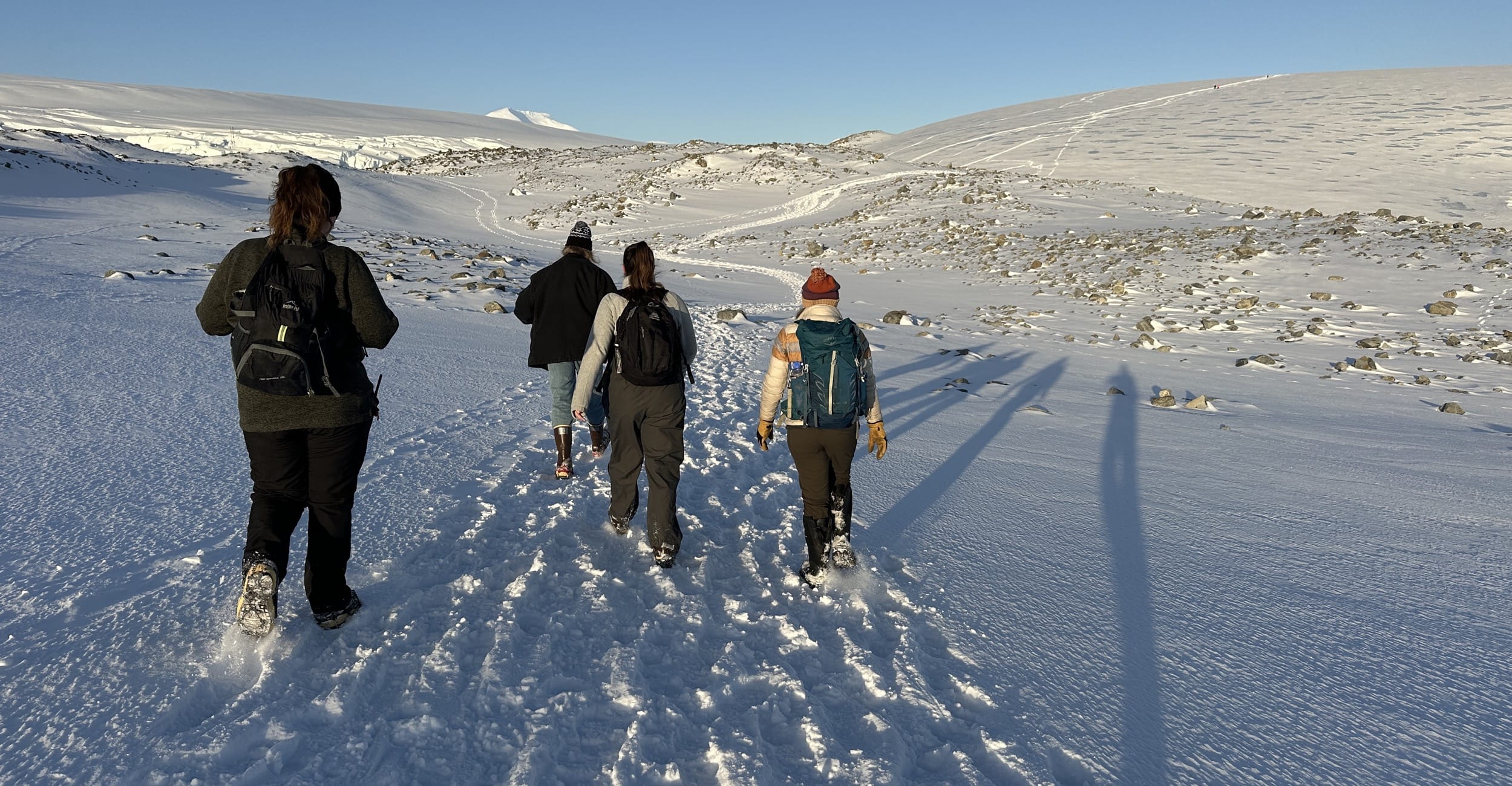
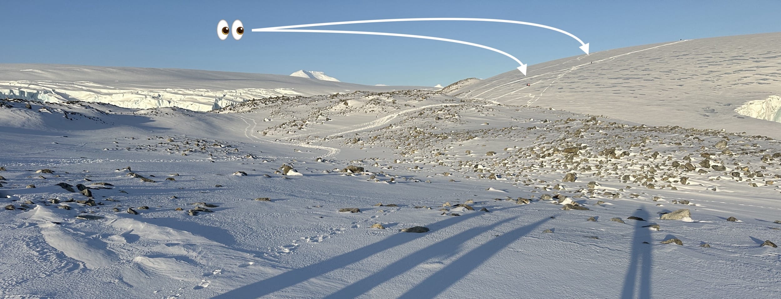
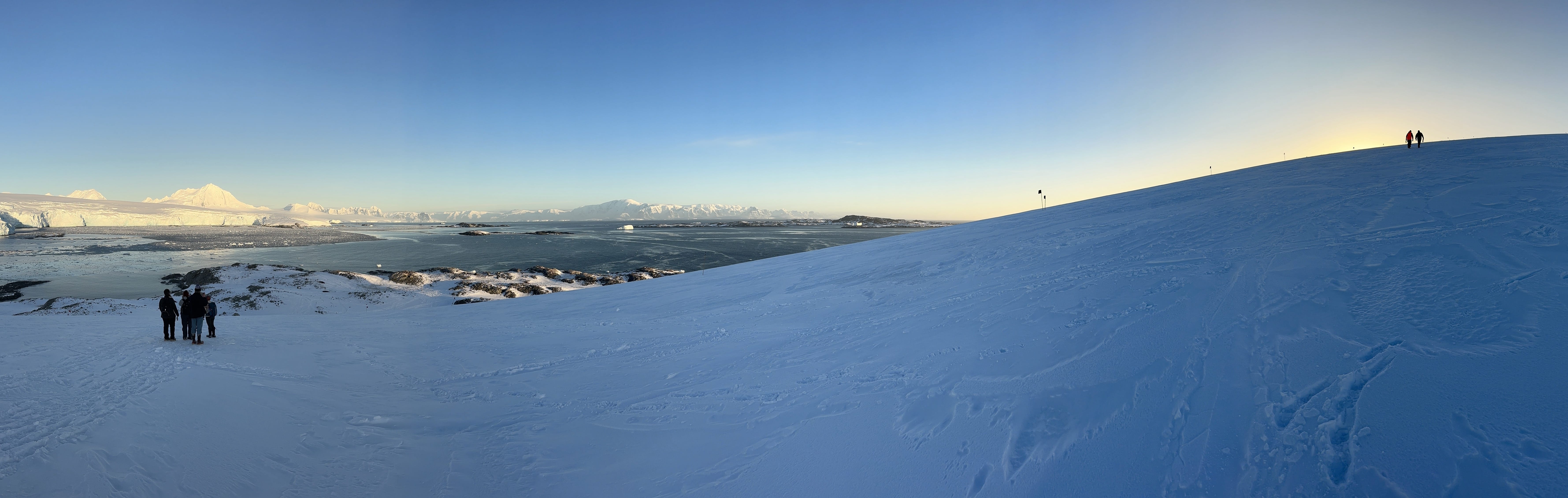
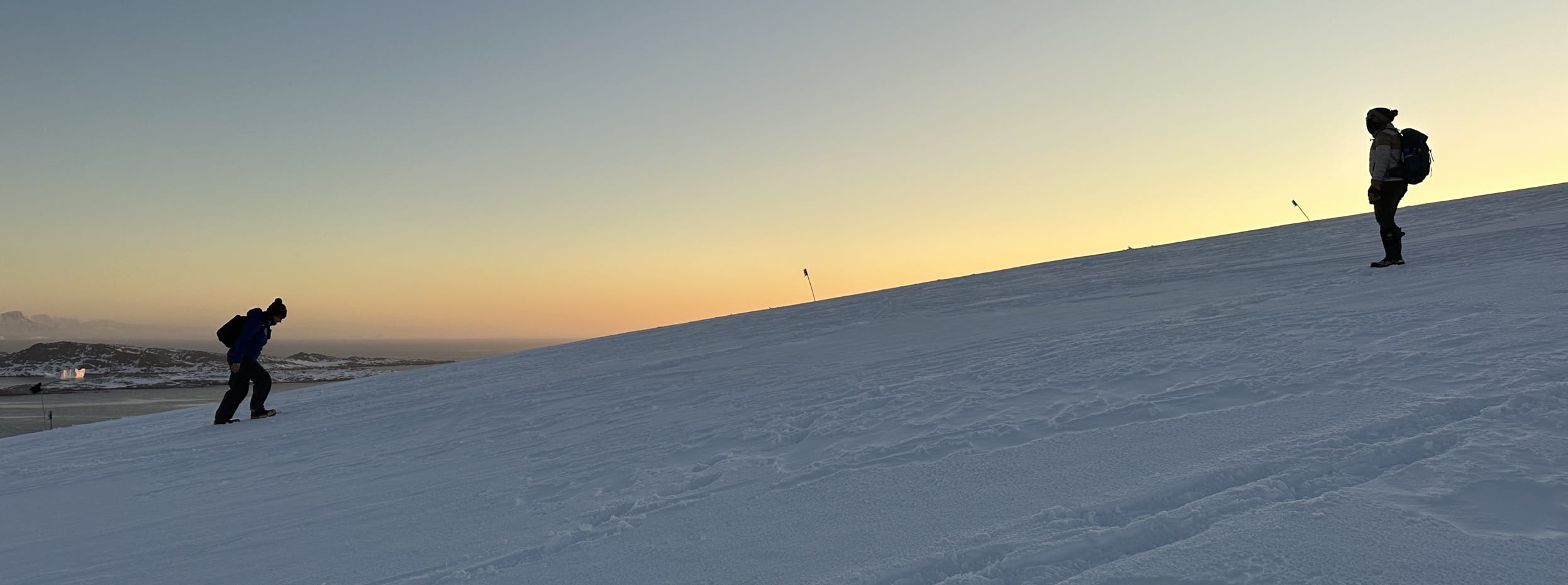
If you look closely in the photo above, you'll see the round and smooth glacier rising up above the rocky ridge on the right, and if you look even closer, you can see a couple of other hikers ahead of us on the glacier trail. Here, maybe this will help...
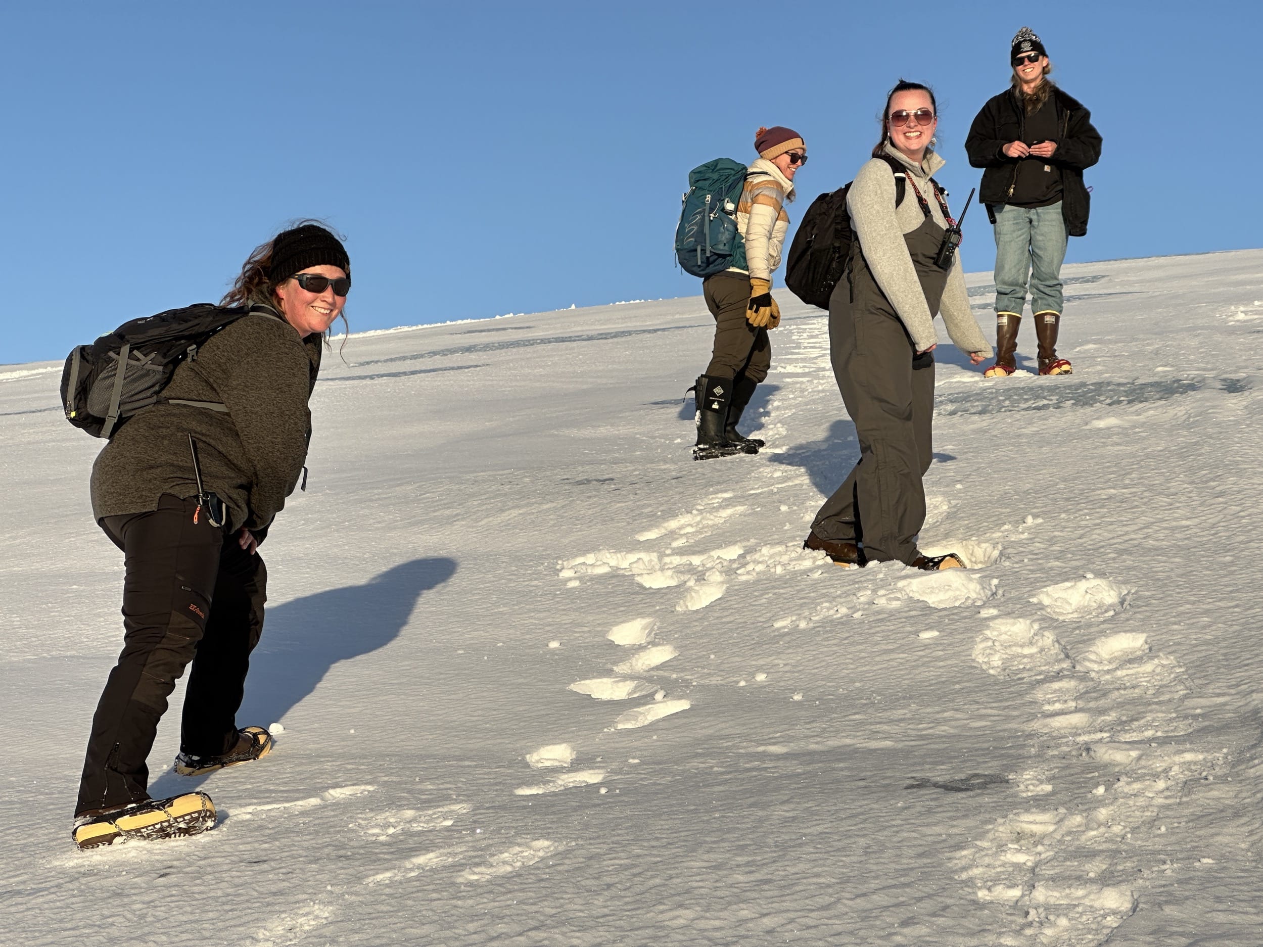
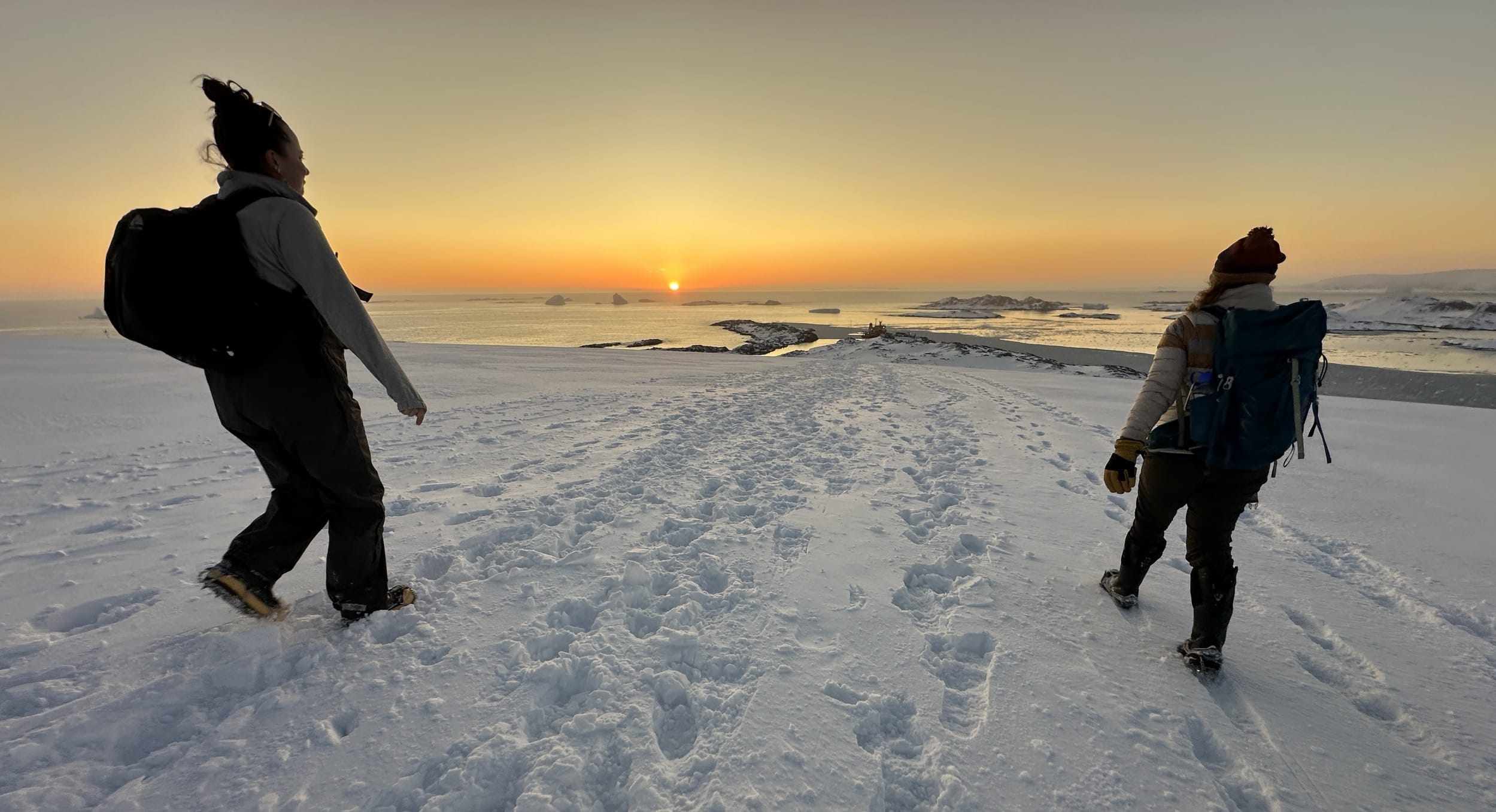
As we got closer to the glacier, we stopped for a bit to put on micro-spikes. Sometimes the glacier is completely covered in fresh snow and it's easier going, but sometimes there are patches of exposed ice and it can get very slippery. You can see some of those darker exposed ice patches on the glacier in the above photo. All spiked up, we pushed on through the backyard and started to make our way up the glacier!
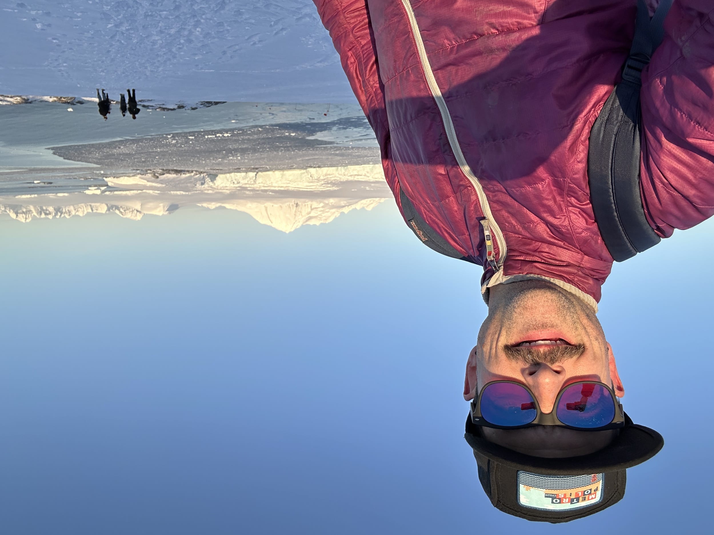
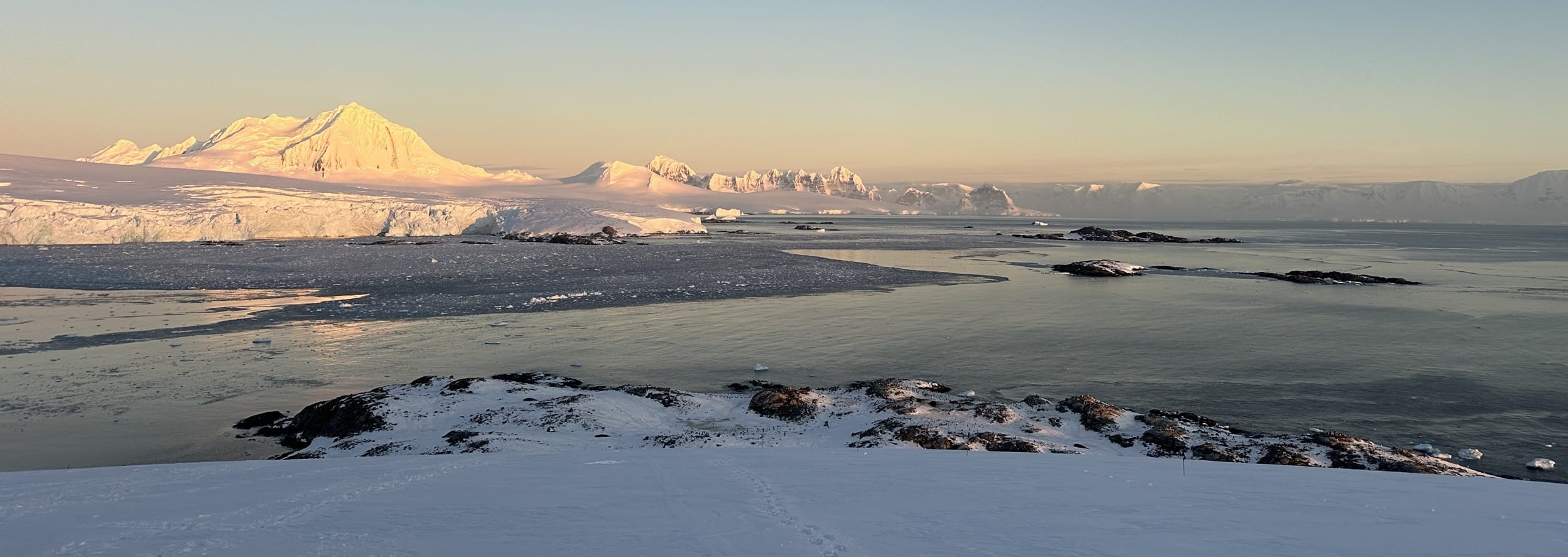
When we crested the top of the glacier, Mount William really came into view!
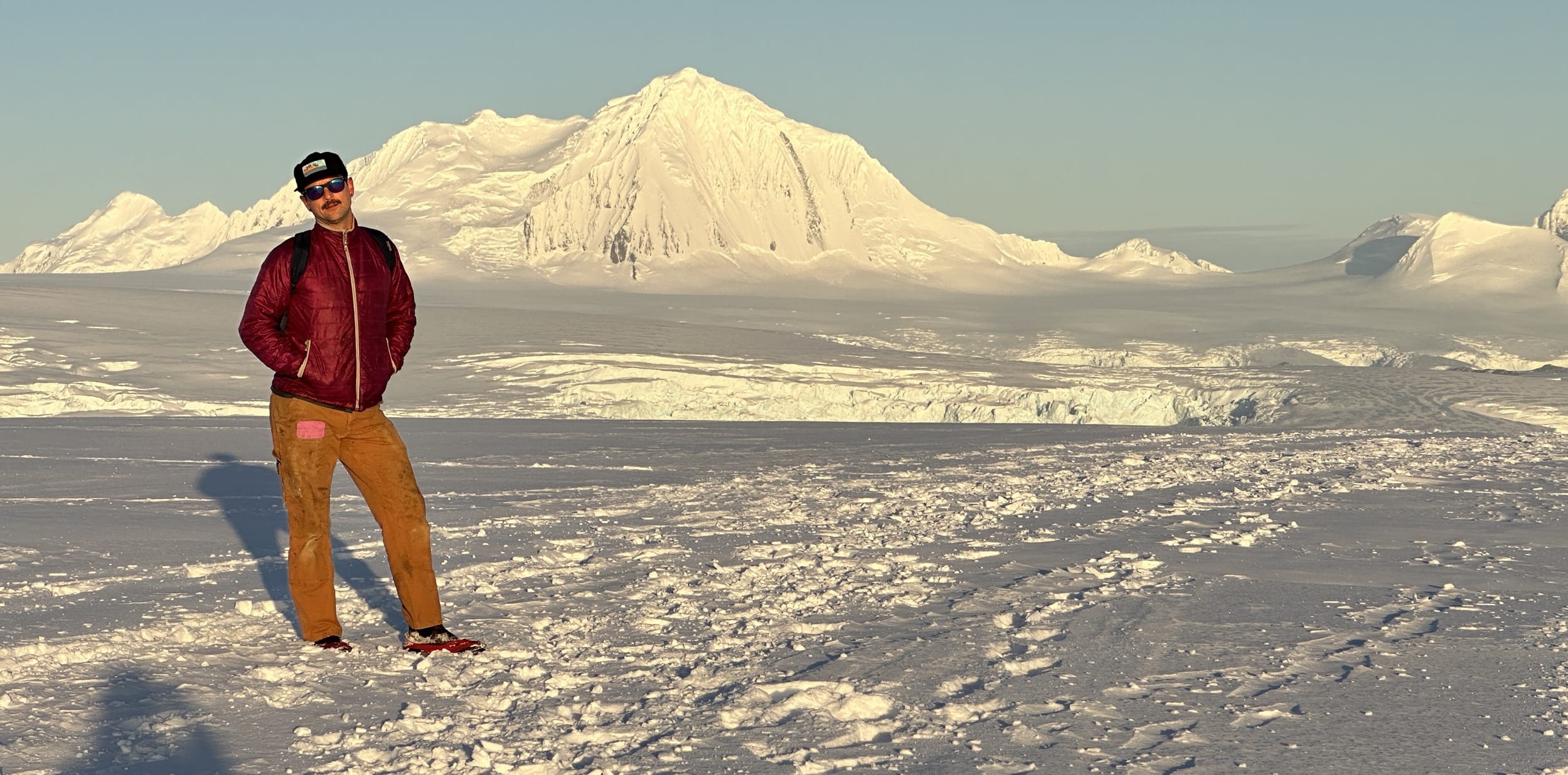
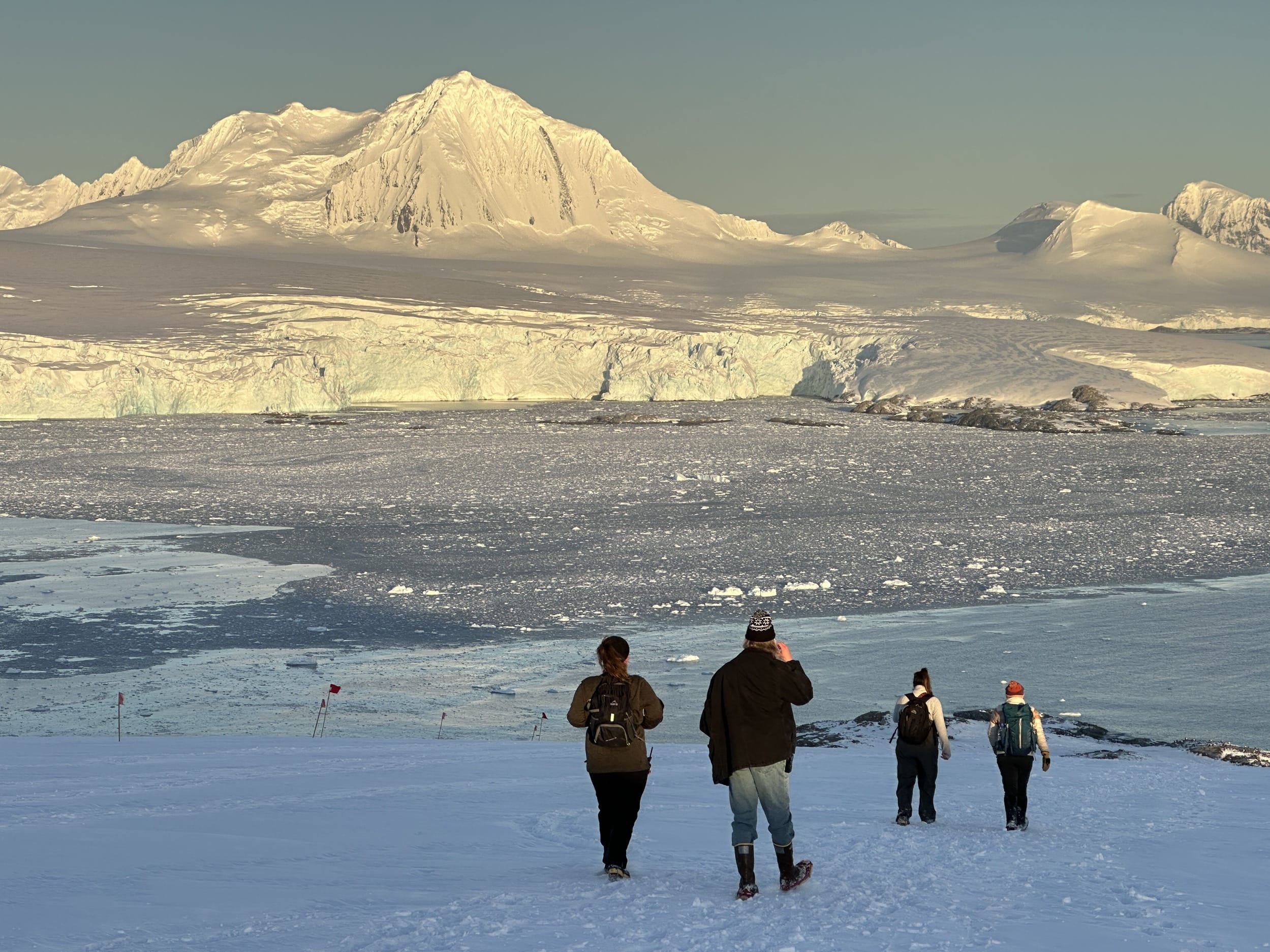
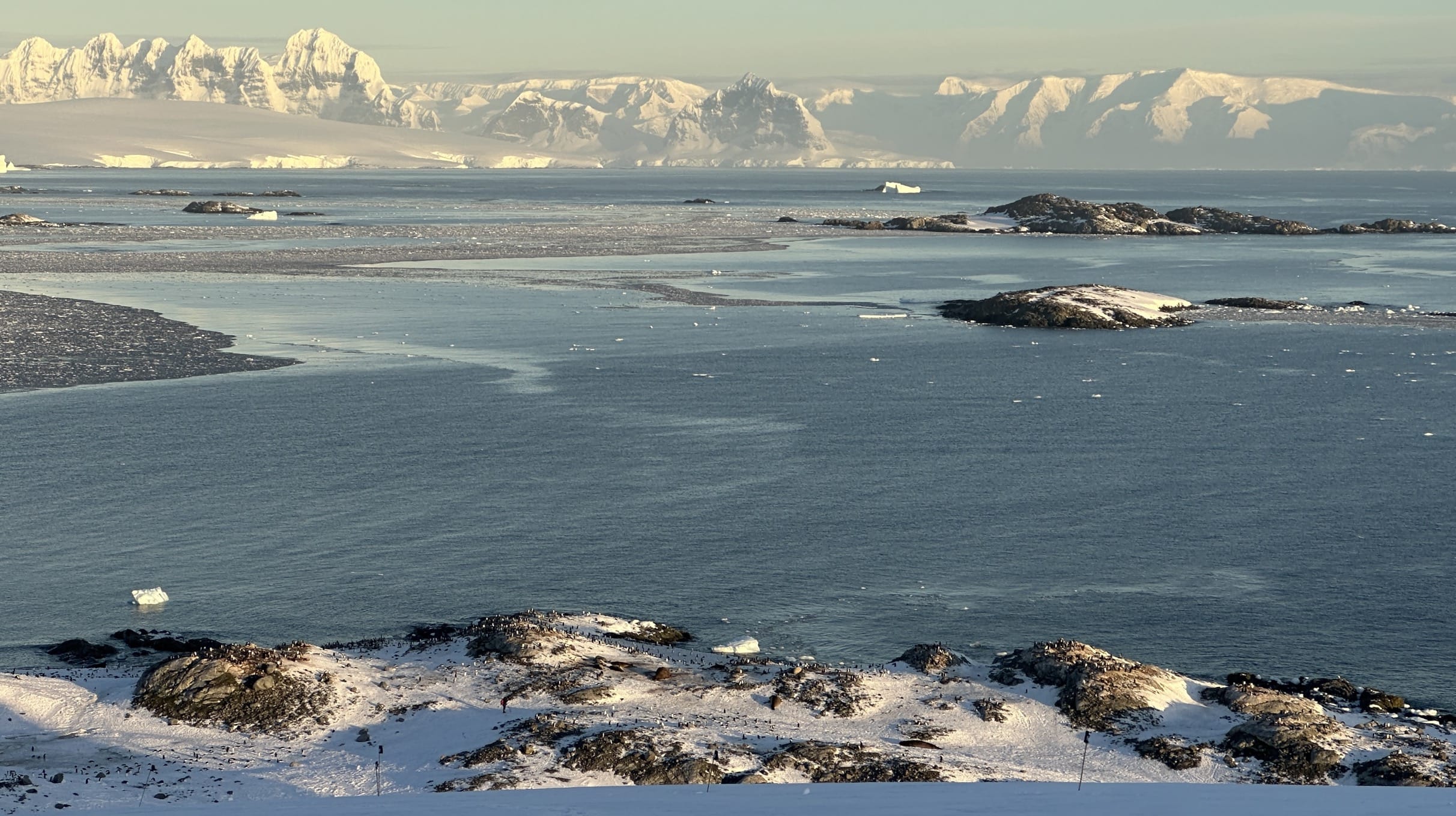
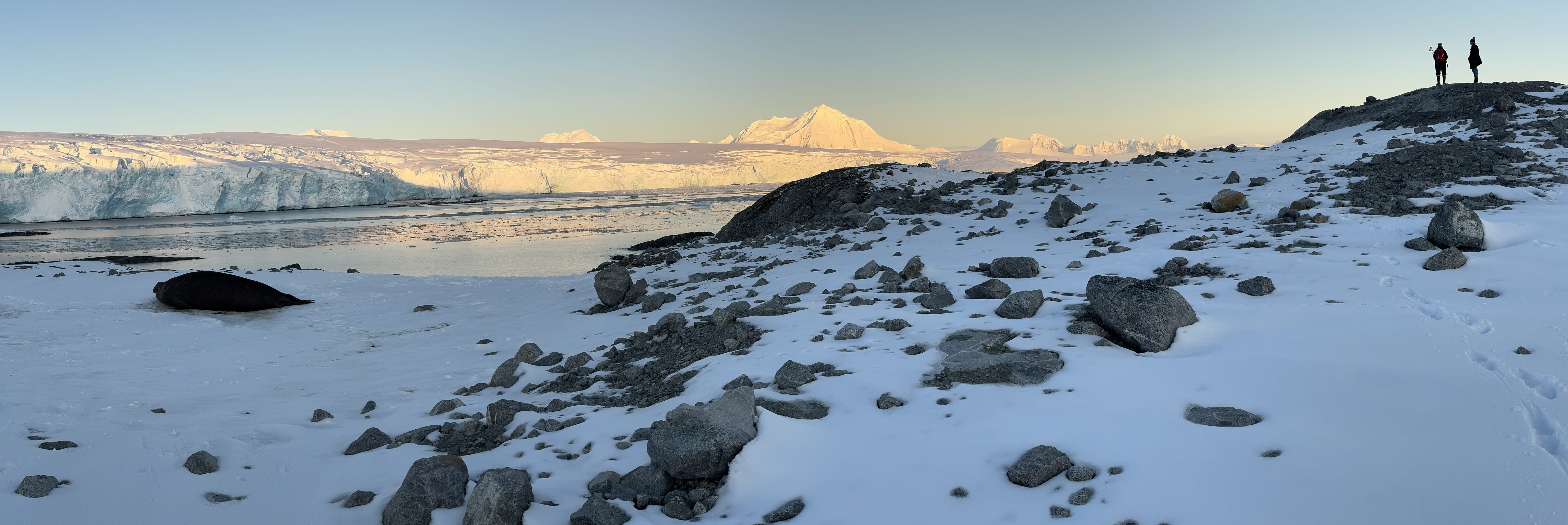
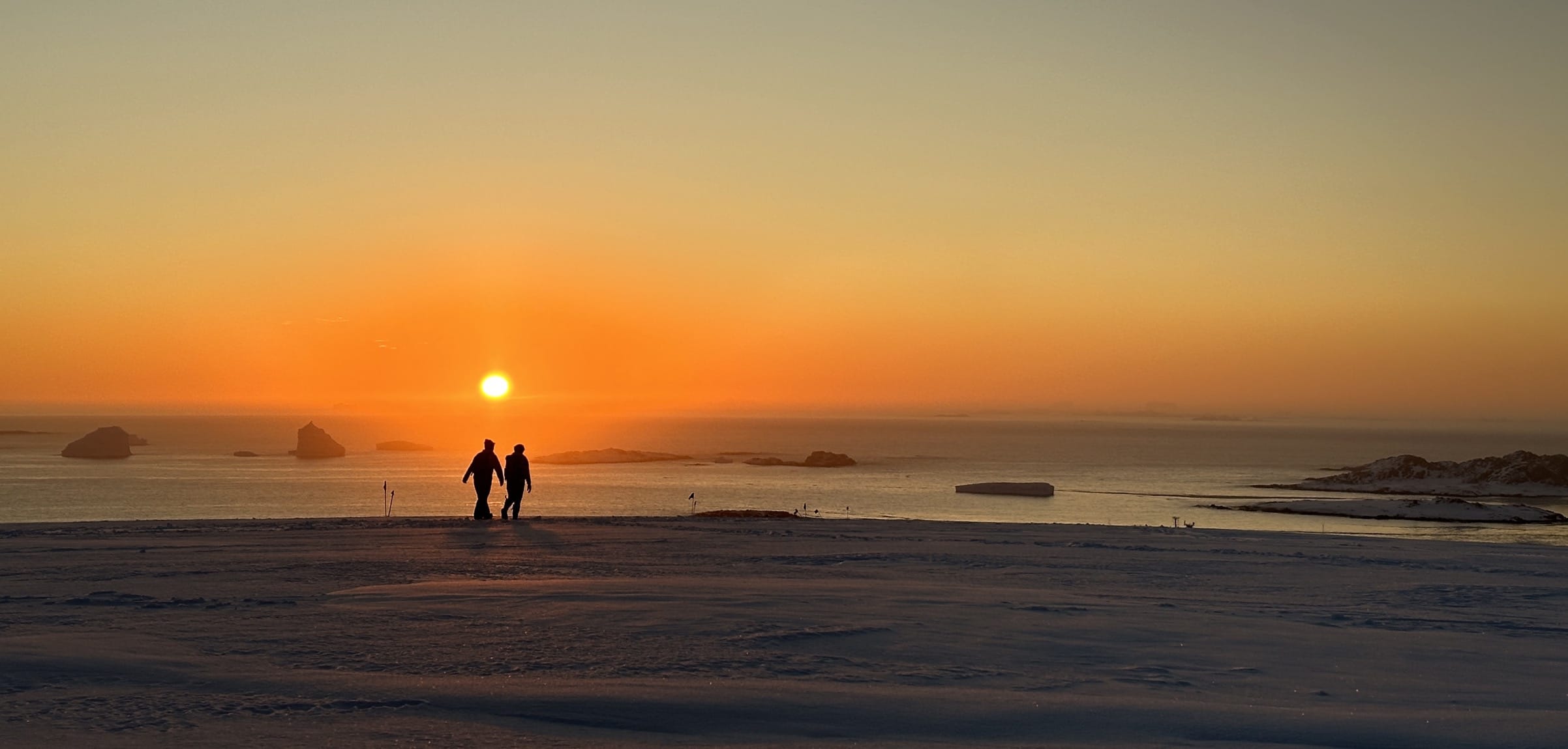
And as we began our descent down the backside of the glacier, the views really opened up: more eye candy from Mount William (on the left), the Fief Mountains on Wiencke Island (center background), the exposed glacier edge and Dead Seal Island (front left and center), and the Stepping Stones and Cormorant Island surrounded by open water (on the right). Jaw-dropping views the whole way down! 😮
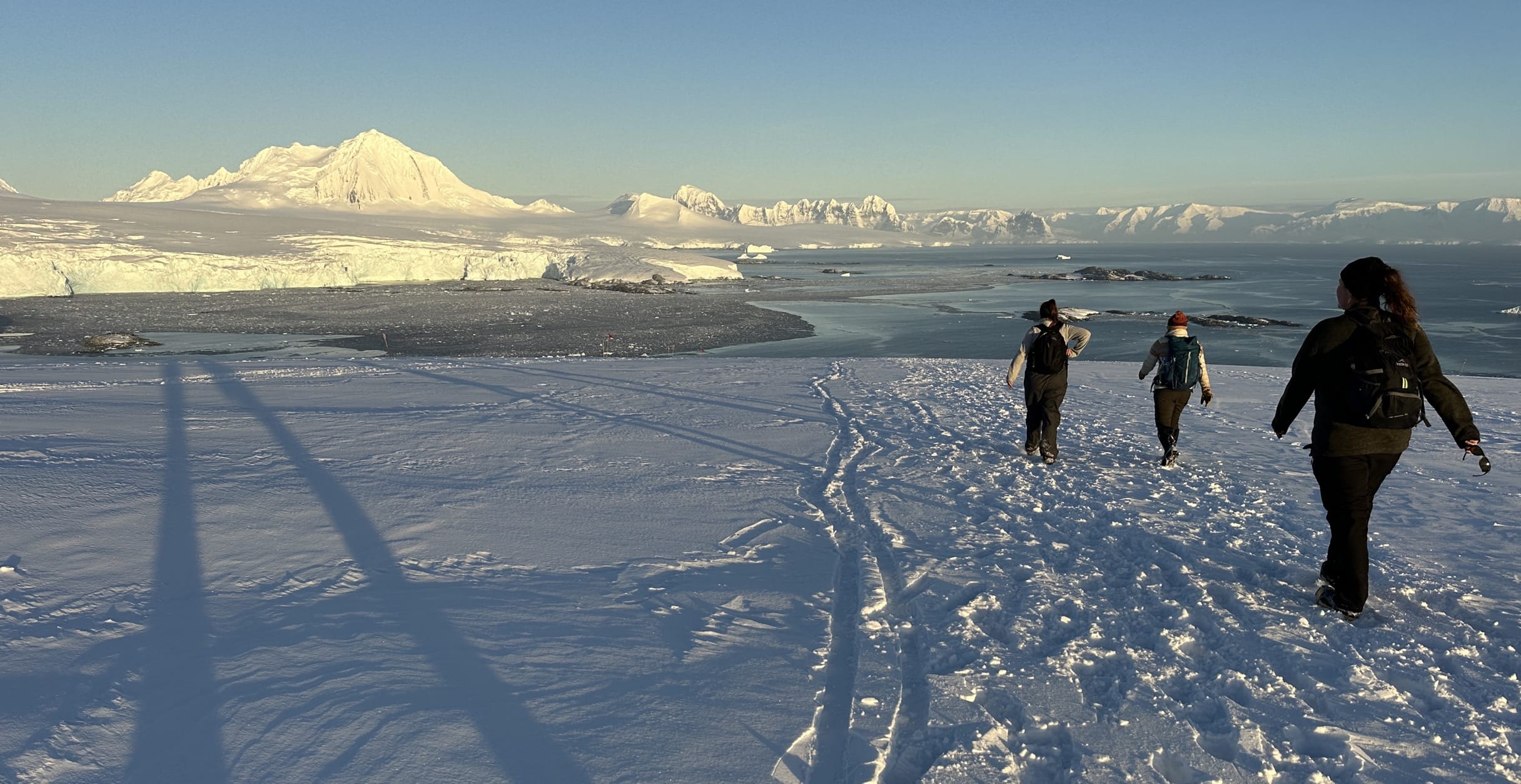
And then we caught our first glimpse of the Gentoo Penguin Colony at Point 8! If you look closely at the foreground in the next image, you can see them scattered all over the exposed rock and snow at the water's edge. And if you look even closer, you can see a couple Elephant Seals in the mix as well. But, honestly, they usually just look like big rocks from most distances.
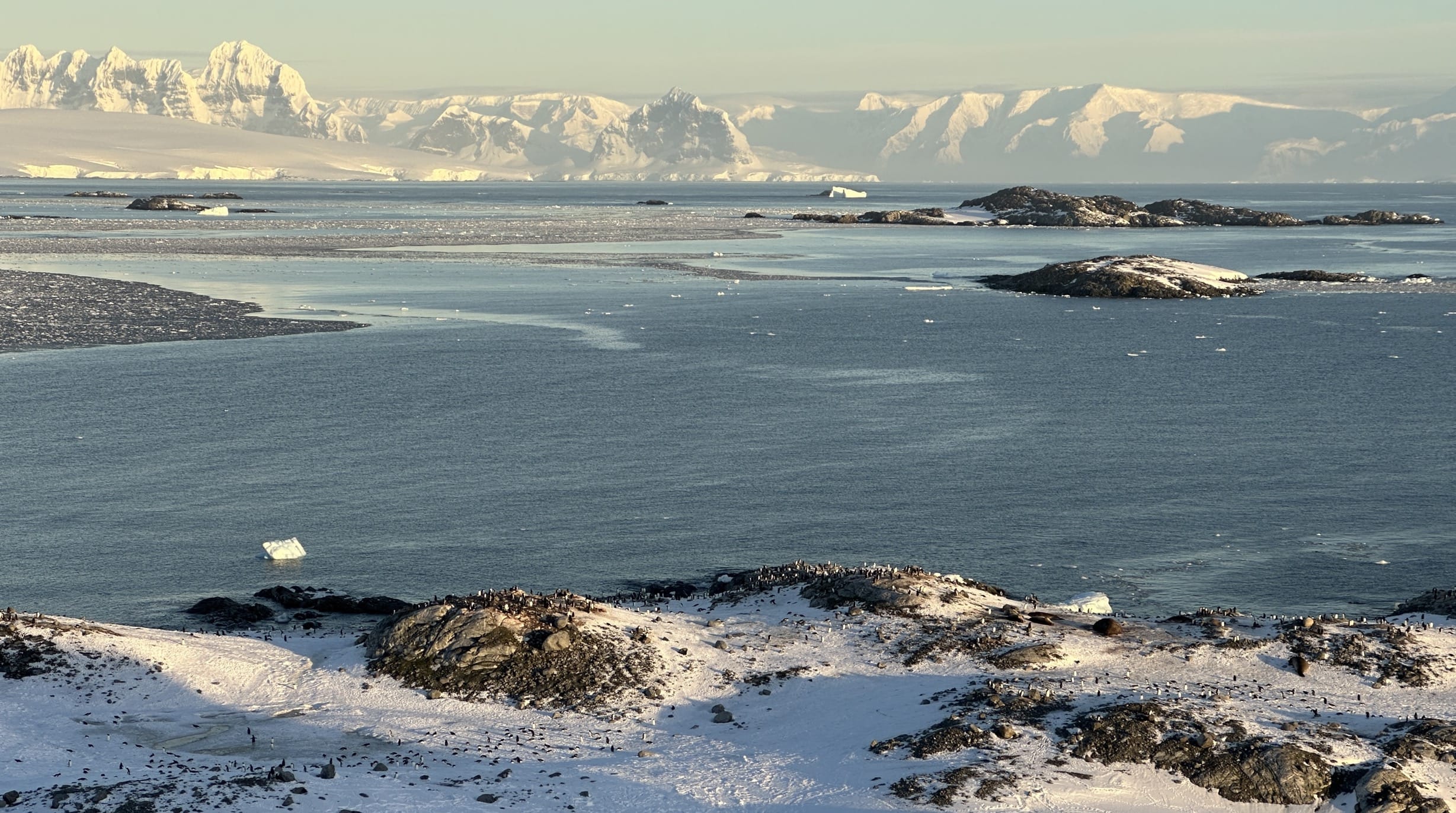
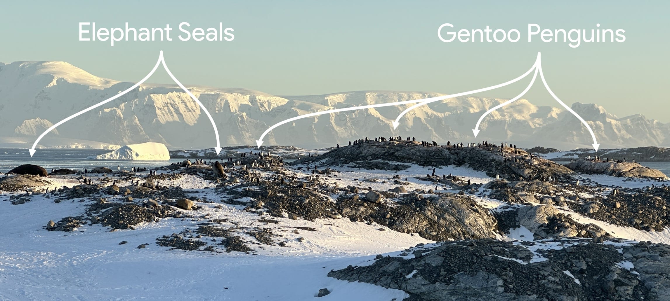
We had officially arrived at Point 8! The penguins were poppin', the seals were snortin', and the sun was settin' – truly magical.
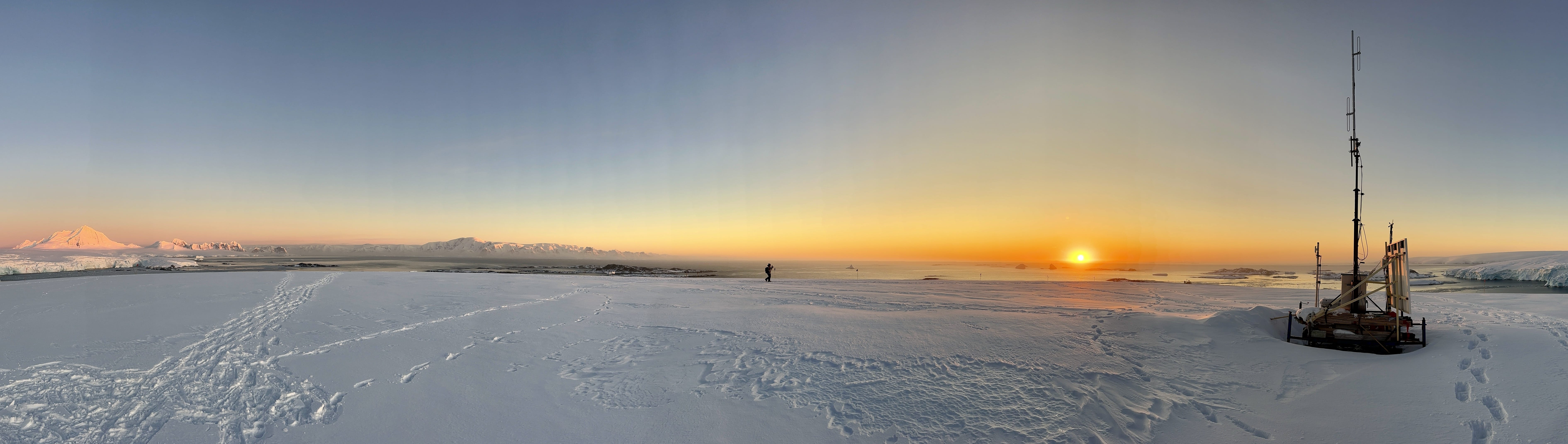
The sun kept slowly setting and the temperature kept dropping in the shadows, so we started to make our way back to station... another trip up and over the glacier!
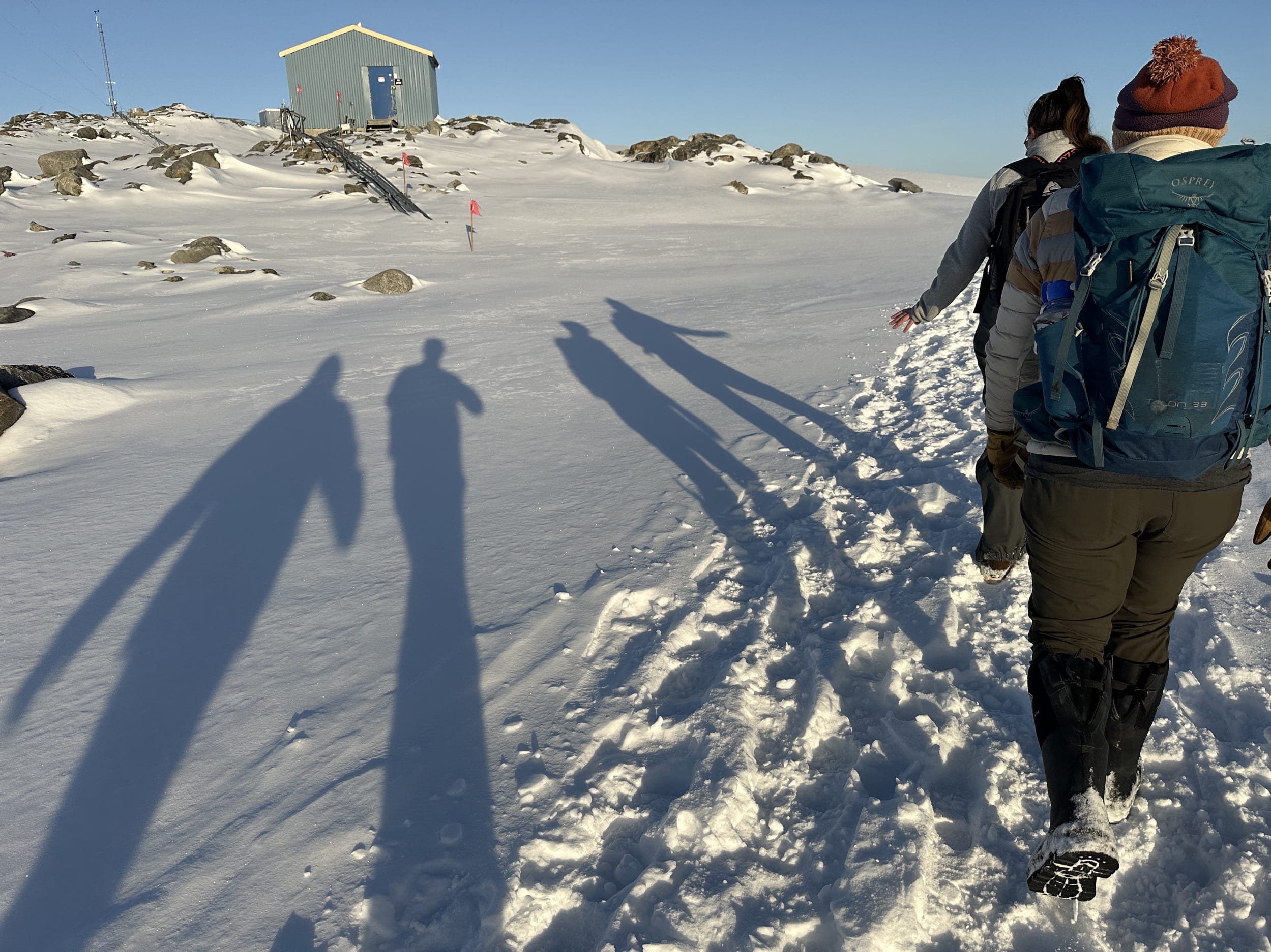
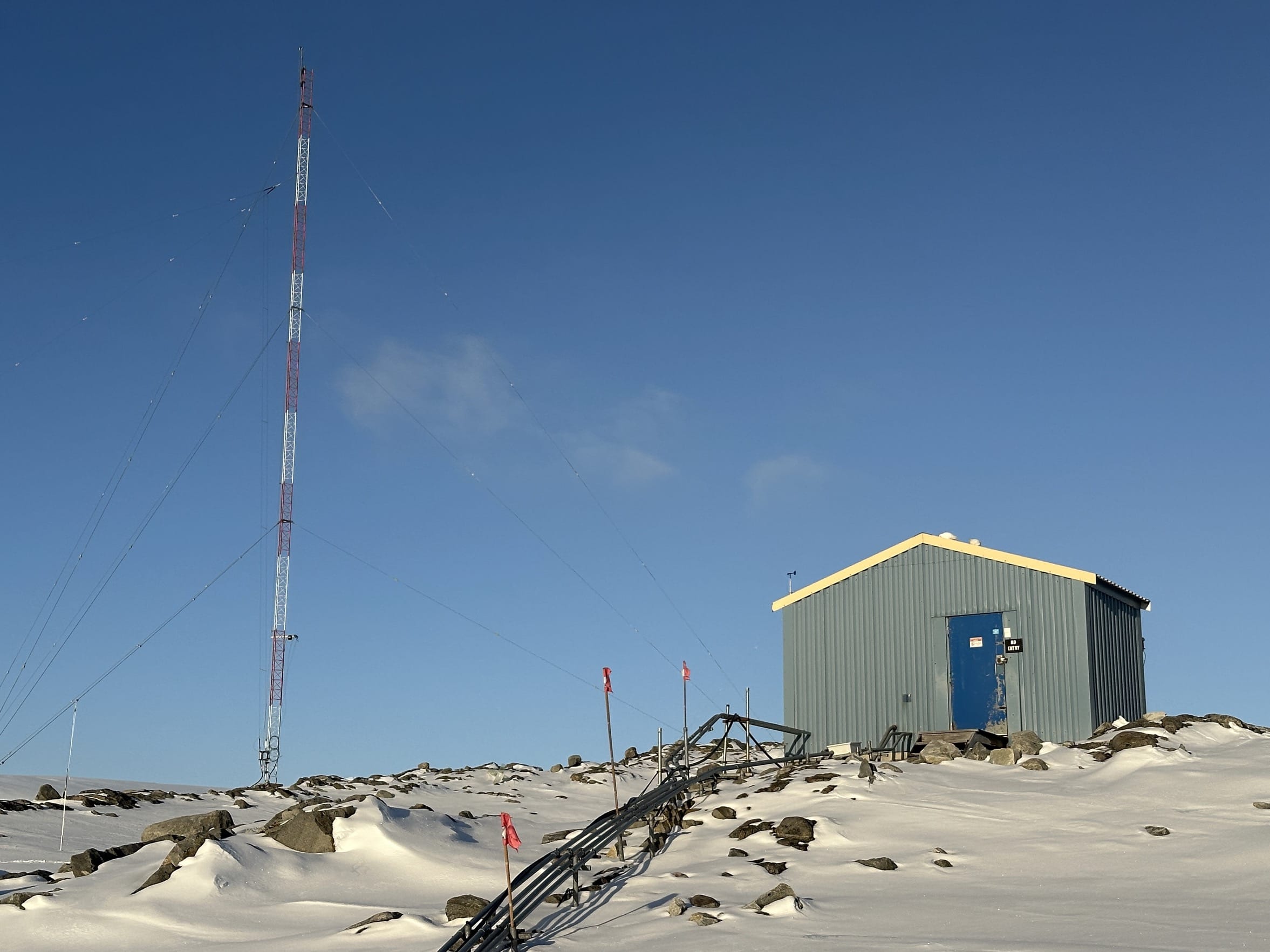
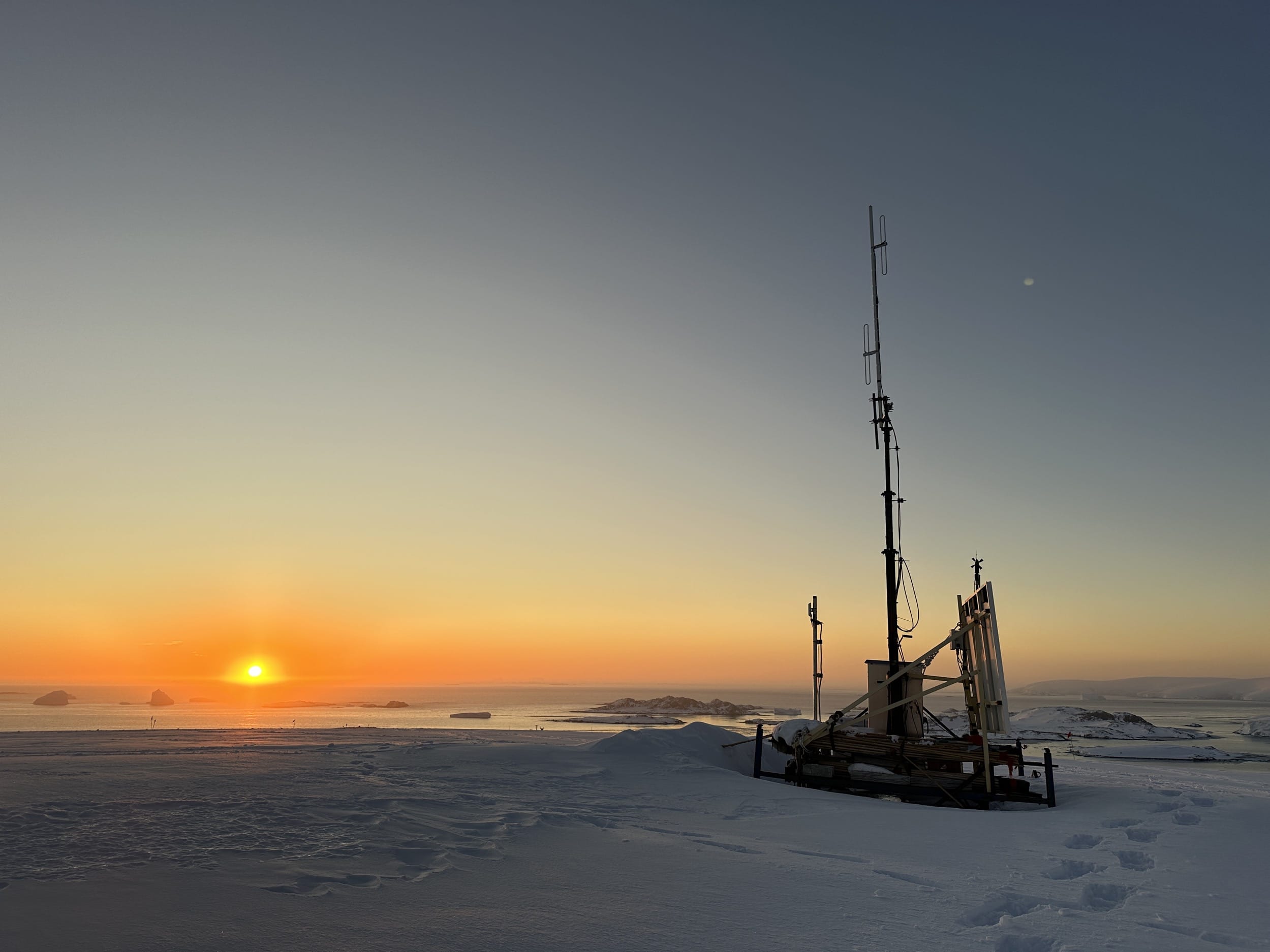
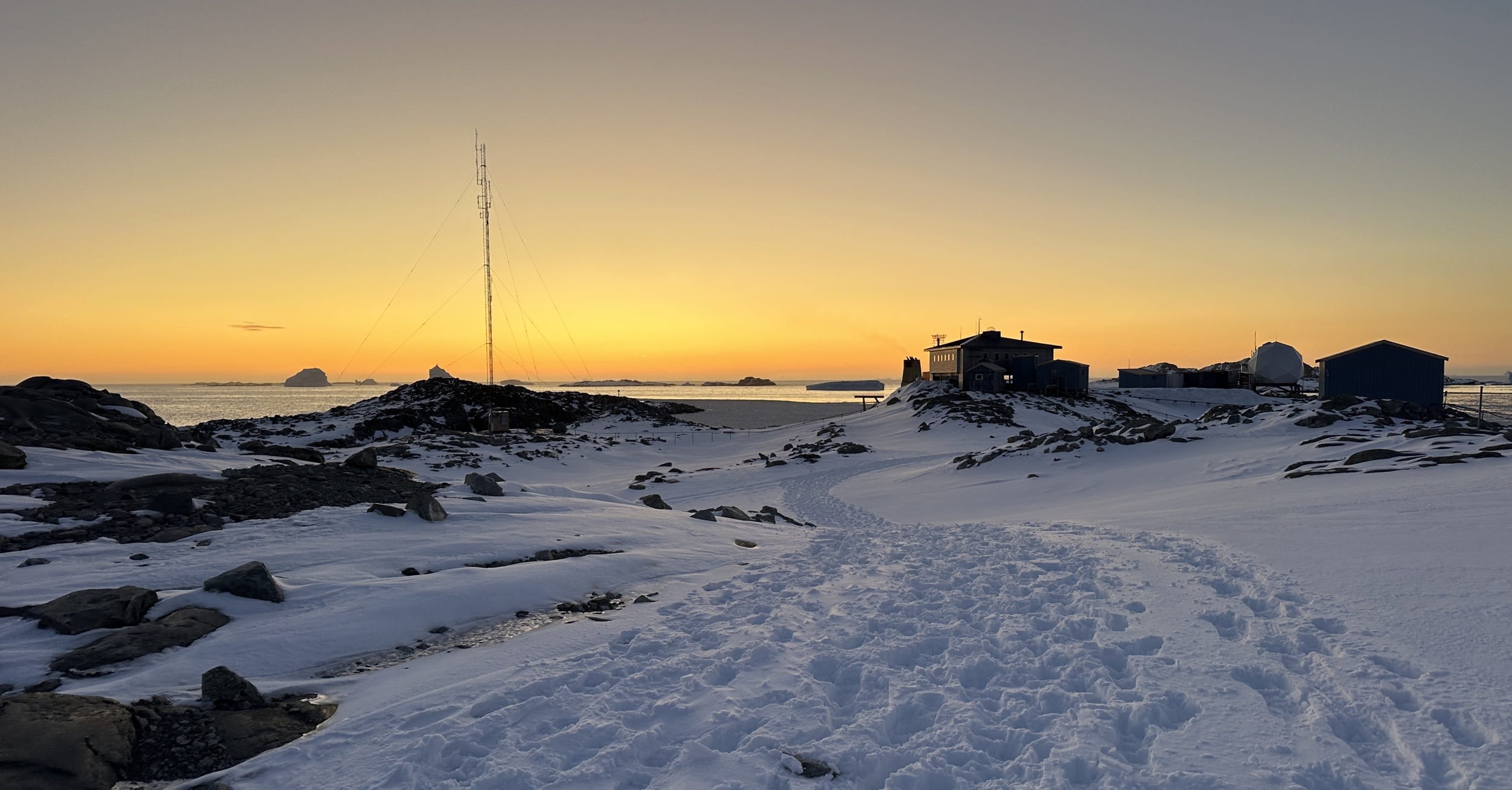
When we crested the hill, I took a moment to appreciate the weather station and radio repeater. It has solar panels on one side that charge up some batteries, and then it does a couple cool things... 1) it gathers weather data (mostly wind speed and direction) from that exact location at the high point on the glacier and sends it to station, and 2) it relays radio traffic, weather data, and AIS vessel data from some of the more distant islands back to station.
Home again, home again, jiggety jig!
NEXT CHAPTER...